Travels with Rex:

Iceland is halfway between Europe and America, in a far corner of the Atlantic Ocean near the Arctic Circle. The island-nation, however, is not as isolated as one may think.
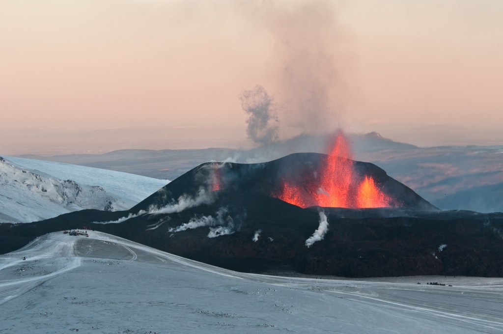
In March this year, Iceland made headlines around the world for a volcanic eruption near Reykjavik, its capital. Lava shot high into the air, turning the night sky red as thousands of small earthquakes rumbled.
The eruption continued for weeks, but Icelanders have learned to take it in stride as long as populated areas were unaffected. Many residents came out to marvel at the spectacular displays of the Earth’s raw power. Videos posted online show people looking at the advancing lava flows at alarmingly close distances.
In May, Iceland was in the news again – for something else.
This time, Reykjavik was the site of an important gathering of officials from high-powered nations vying for influence in the Arctic.
Global warming is thawing Polar waterways and offering unprecedented access to vast tracts of uninhabited territories in the Far North. This change brings both opportunities and rivalries among countries with vested interest in the region.
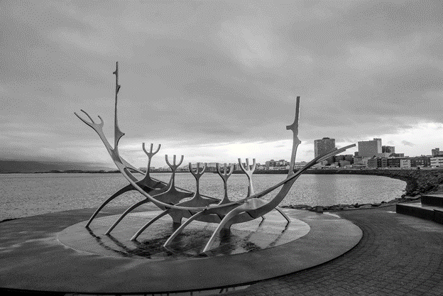
Reykjavik itself is a capital city rich with distinctive character.
The most modernistic building in downtown Reykjavik is the Harpa Concert Hall and Convention Centre.
It was conceived in 2008, before the global financial crisis, to rival the Sydney Opera House. When the crunch came, there was debate about cancelling the half-finished project and the government refused to bail out the banks involved. Reykjavik did finally end up with a world-class, award-winning building, even though the architectural wonder may be too big for its population.

With the cancellations of a surrounding residential and commercial complex, however, the Harpa stands alone at the waterfront, separated from the rest of the downtown core by a four-lane highway. Visiting the landmark can be challenging in adverse weather, with the unforgiving wind, sleet, and pelleting rain.
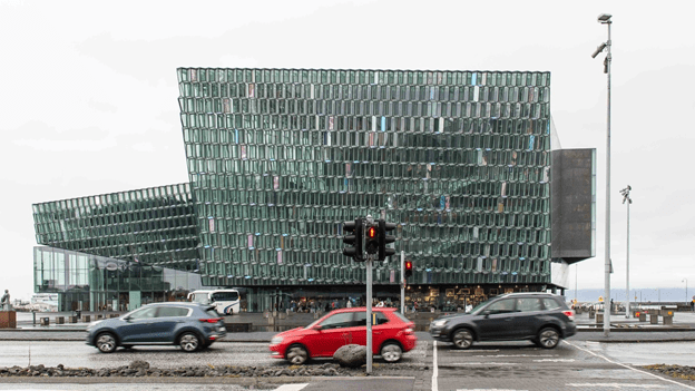
The most admired part of the building is the honeycombed facade reflecting light in patterns during the day and illuminating an otherwise dark corner of the city like a sparkling jewel at night.
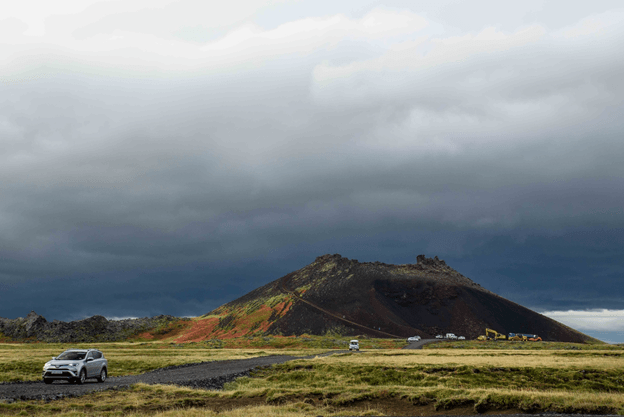
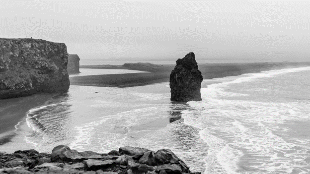
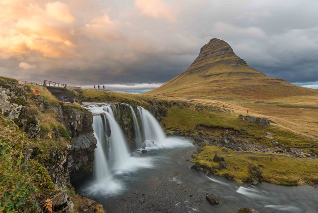
Iceland is one of the very few countries that can gain land without a battle or a treaty. Magma oozing from the Earth’s interior deep under the surface constantly adds land mass to the island.
In the March 2021 volcanic eruptions near Fagradalsfjall, about 30 kilometres southwest of the capital, lava covered one square kilometre of the surface in just a few hours. It has since spread over a much wider area. The molten lava would eventually harden into solid rock.
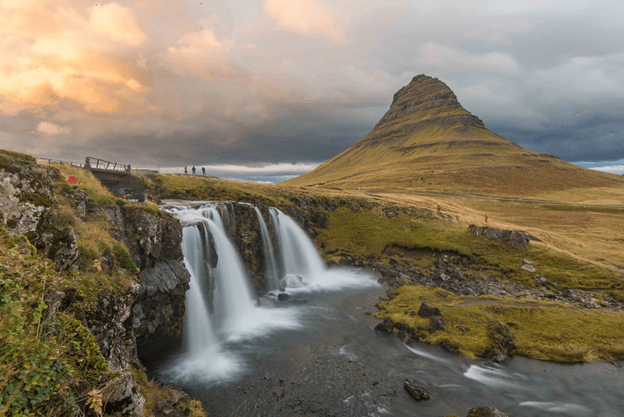
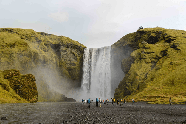
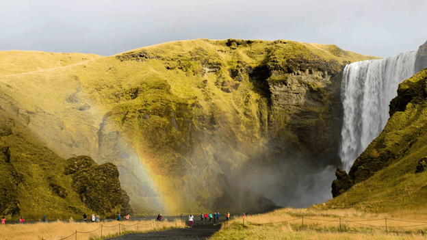
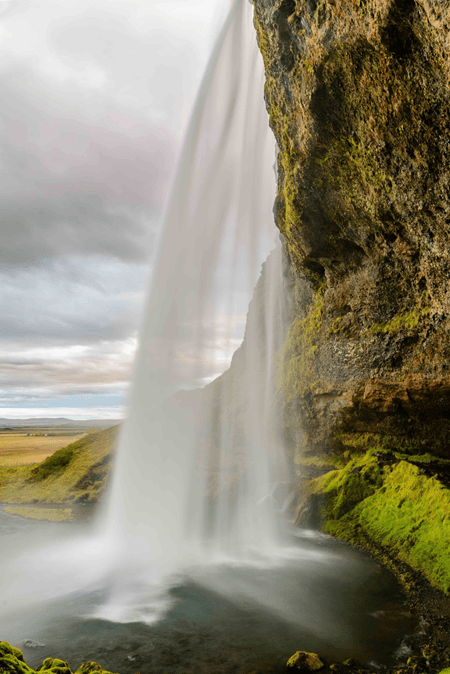
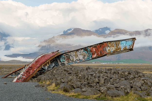
Similar signatures of past eruptions can be found elsewhere in Iceland.
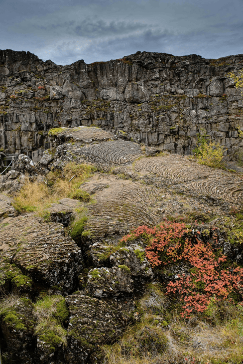
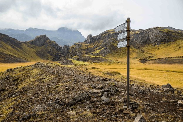
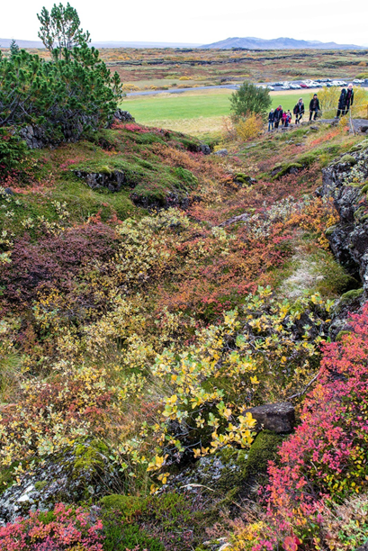
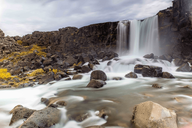
Þingvellir, a UNESCO world heritage historic site and national park about 50 kilometres east of Reykjavik, is the site of the dramatic rift valley created with the separation of the Eurasian and North American tectonic plate. Rocky cliffs and fissures are seen on the huge Almannagjá fault.
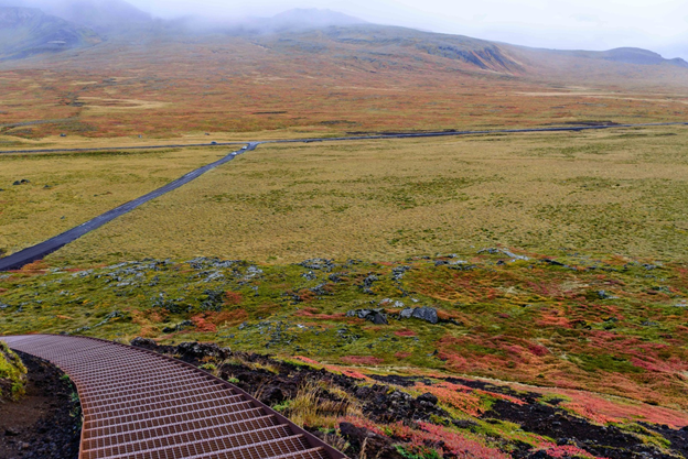
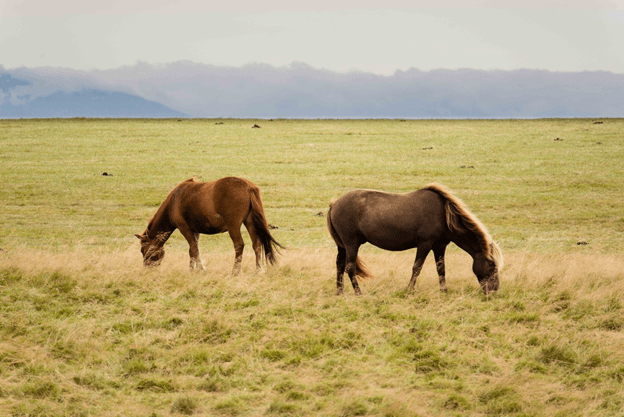
The land created is rich in minerals but bare of vegetation, which must be imported if desired.
The hardy lupine was brought in from Europe to control soil erosion. Every spring, purple lupine can be seen across the landscape.
Awesome as they are, volcanic activities can be a welcomed part of life. Icelanders have not forgotten the economic windfall from the eruption of Eyjafjallajokull in 2010. It made their country the most popular international tourist hot spot. Tourism became the No. 1 source of income for Iceland, surpassing fishery.
(Photo: David Karnå – Wikimedia Commons)
The tourism bonanza came to a pause, however, when the COVID-19 pandemic shut down world travel in 2020. Nobody can predict what will happen in the future, but Icelanders certainly have memories of the golden days from not too long ago.
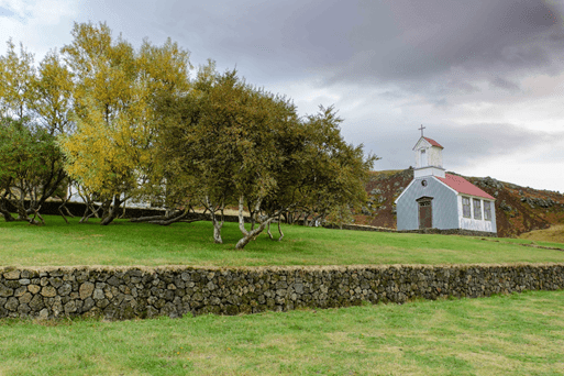
Þingvellir, commonly spelled as Thingvellir in English, is also known for the Alþing (Althing), the site of Iceland’s parliament from the 10th to 18th centuries. The Þingvellir Church and the ruins of old stone shelters are at there.